Georgia is situated between the Black and Caspian Seas
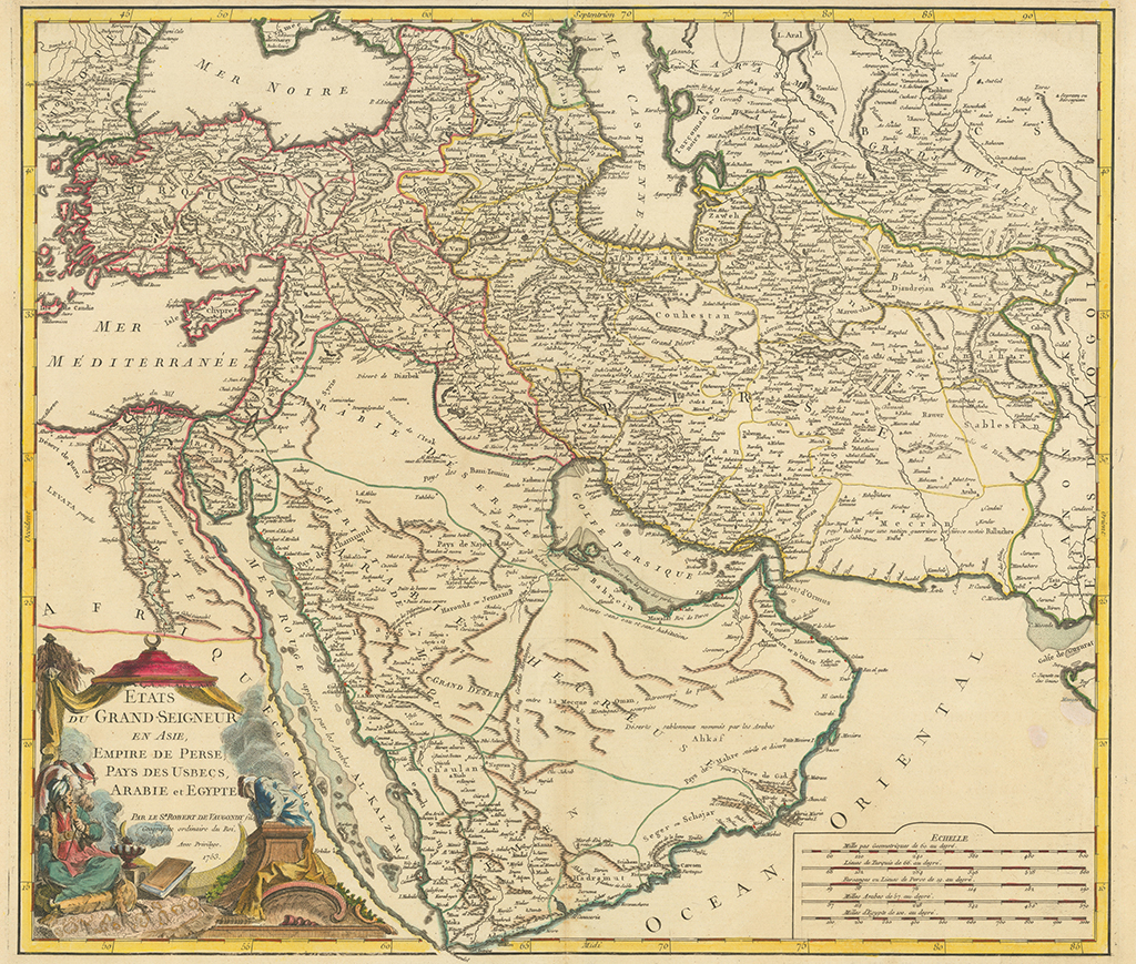
Etats du Grand-Seigneur en Asie, Empire de Perse, Pays des Usbecs, Arabie et Egypte.
A map by a French cartographer Robert de Vaugondy.
On this map, printed in Paris in 1753, Georgia is situated between the Black and Caspian Seas.
Although the country is divided into various kingdoms and principalities, it is referred to by the unified name 'GEORGIE.' The map also features the regions of Guriel (Guria), Souanes (Svaneti), and Caket (Kakheti).
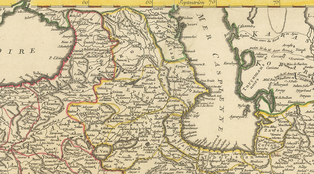
From the old fortress-cities, one can depict: Gounia (Gonio), Schataksal (Ordered), Kopi (Khobi), Anargie (Anaklia), Sahoum (Sukhumi), Mokovi (Mokvi), Dandar (Gagra), Bisiunta (Bichvinta), Coutetis (Kutaisi), Bagdati, Karageouli (Kharagauli), Sazane (Sazano), Akalzike (Akhaltsikhe), Akalkalaki (Akhalkalaki), Gokia (Gokia), Ali (Ali), Gori (Gori), Atchabeti (Achabeti), Tiflis (Tbilisi), Damsia (Tandzia), Kiciki (Kiziki), and others.
The map features the following names: ARMENIE (Armenia), Shirvan (Shirvan), Adirbeitzan (Adirbeitzan), Baku (Baku), Schamaki (Shamakhi), Erivan (Erevan) and many others.


