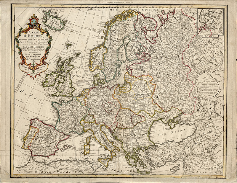
A later edition (1789) of the map of Europe by the French cartographer Philippe Buache.
A later edition (1789) of the map of Europe by the French cartographer Philippe Buache.
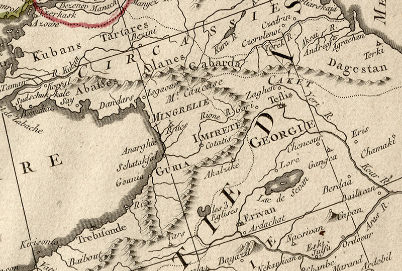
The map includes several references to Georgia, appearing on the eastern side of the Black Sea (Mer Noire) where the name GEORGIE is used specifically to denote the region of Kartli.
Other Georgian kingdoms and principalities marked on the map include: Guria (GURIA), Imereti (IMIRETE), Samegrelo (MINGRELIE), and Kakheti (CAKET).
Among the fortified cities and other settlements shown on the map are: Gonio (Gounia), Shekvetili (Schataksal), Anaklia (Anarghia), Rukhi (Rucs), Isguri (Isguri), Gagra (Dandars), Kutaisi (Cotatis), Akhaltsikhe (Akalzike), Gori (Gori), Zegami (Zaghen), and Tbilisi (Teflis). The map also features Rivers of Rioni (Rioni r.), Mtkvari (Kour R.), and Iori (Youri R.).


