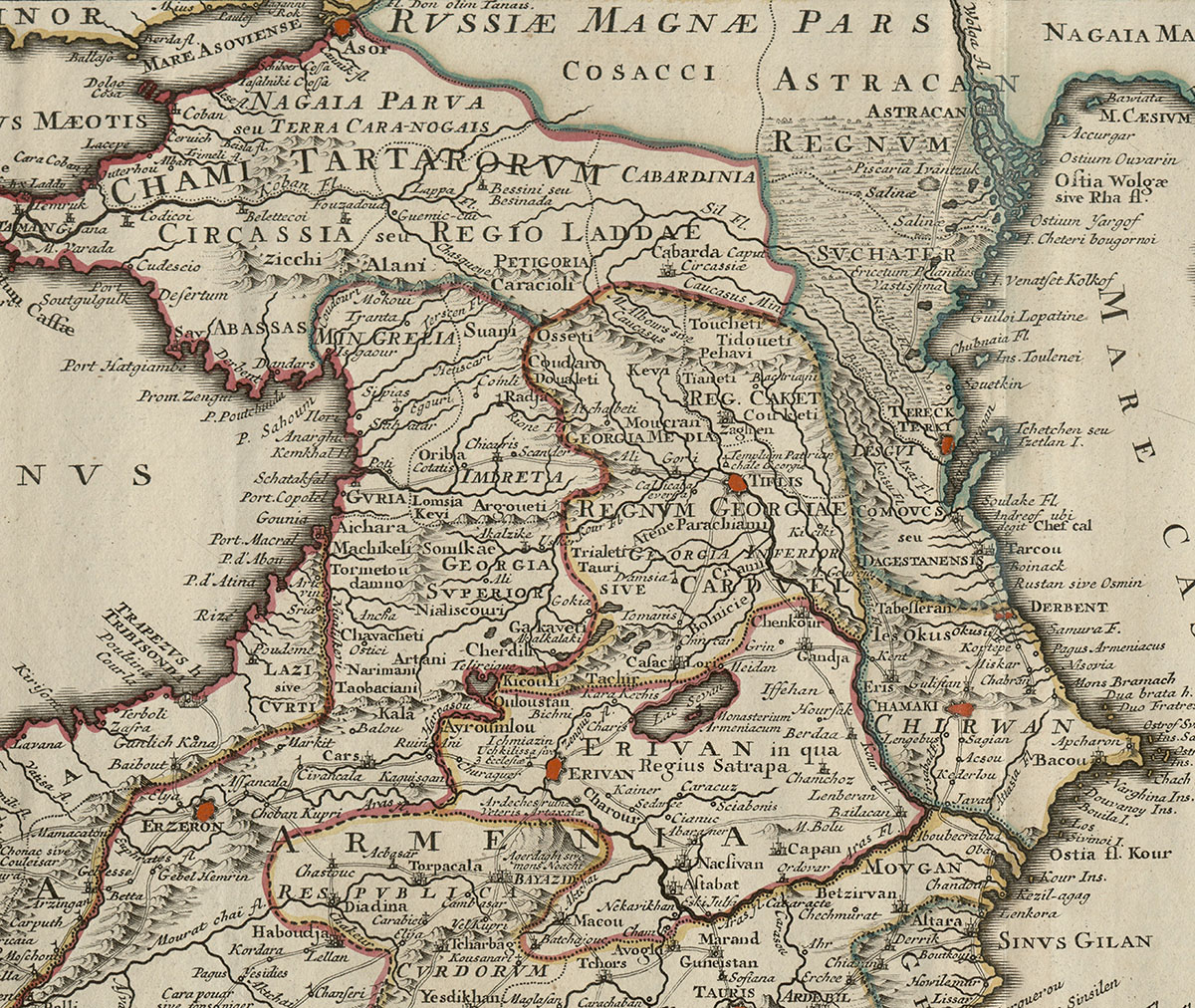
Between the Black and Caspian Seas, the map provides significant details about Georgia and its neighboring countries.
Ottoman and Persian Empires
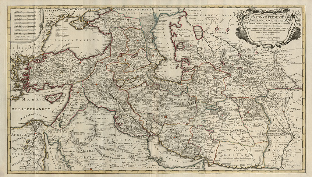
This large-format map by Renier and Joshua Ottens covers a vast region, including the Middle East, Asia Minor, the area between the Black and Caspian Seas, Central Asia, the Ottoman and Persian Empires, and lands east of the Persian Empire.
Between the Black and Caspian Seas, the map provides significant details about Georgia and its neighboring countries.
On the map of Oteens, the information about Georgia and the surrounding countries is taken from the map of the neighboring countries of the Caspian Sea by the royal cartographer of Louis XIV, Guillaume Grelot, printed in Paris in 1723. This map was created based on the chronicles of the Georgian diplomat, traveler and writer, Sulkhan-Saba Orbeliani.
The map is richly detailed, depicting kingdoms and territories, as well as castles, cities, churches, monasteries, rivers, mountains, lakes, and important trade routes.
This remarkable map by the Ottens family was reprinted multiple times in Amsterdam, with this version being printed in 1756.


