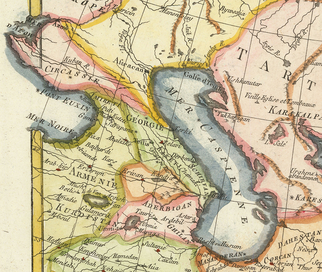
In the upper left section, between the Black and Caspian Seas, significant details about the countries in the region are denoted
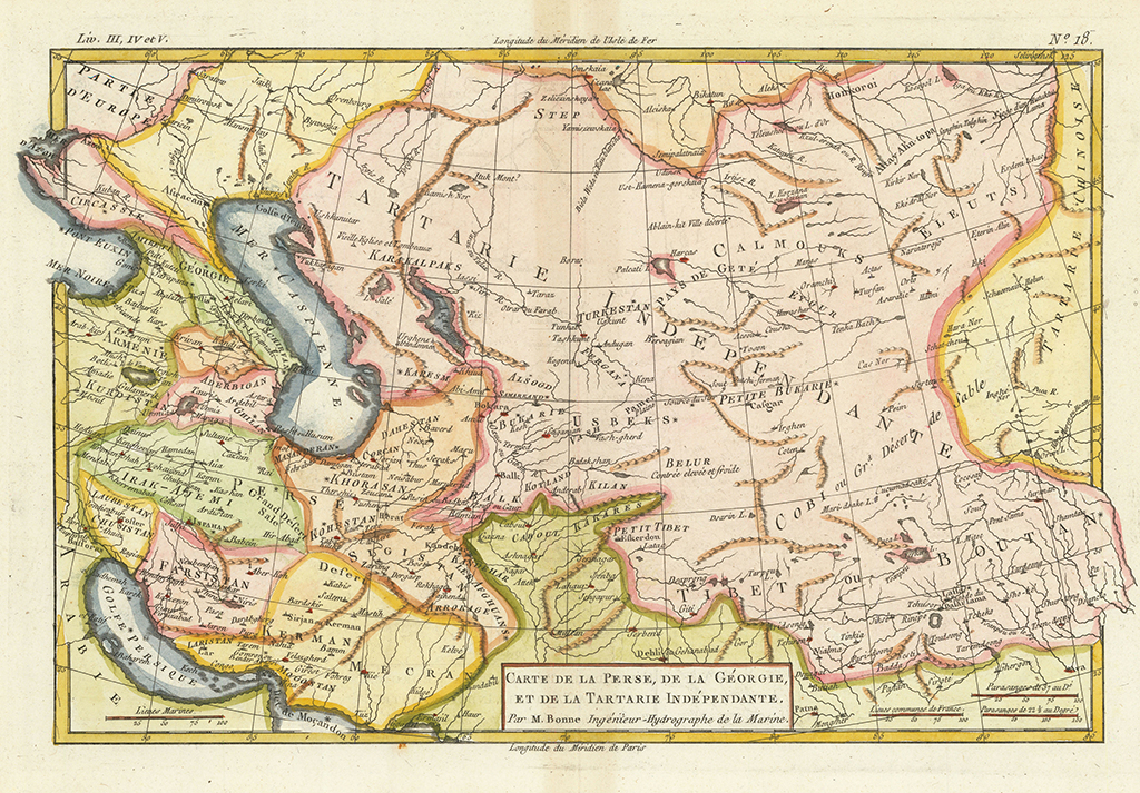
Persia, Georgia, Independent Tartary
A 1787 map by French cartographer Rigobert Bonne. In the upper left section, between the Black and Caspian Seas, significant details about the countries in the region are denoted.
The primary depictions related to Georgia include IMIRETI (Imereti), GEORGIE (here referring to Kartli), and KAKETI (Kakheti). The map clearly shows castles and towns such as Gonie (Gonio), Akalzike (Akhaltsikhe), Sarapana (Shorapani), Kuteti (Kutaisi), Puti (Poti), Teflis (Tbilisi), and Telavi (Telavi).
Alongside other important depictions, the map has the following names denoted: SCHIRVAN (Shirvani) and ARMENIE (Armenia). Towns such as Erivan (Erevan), Kandja (Gandja) and Baku (Baku).


